Description (0)
| Anchorage Facts |
| Depth |
10 meters |
| Bottom Type |
Sand |
The causeway that separates the town of Tarifa from Isla de Tarifa makes a good lee anchorage depending on which way the wind is blowing. There is a sandy anchorage to be had on either side of it. There will most certainly be wind as it blows most every day and if on the outside, expect swell and current. On the inside, there could be the same but also frequent ferry traffic. When rounding the point of Isla de Tarifa be aware that there are overfalls and rough patches from the wind & current. Tarifa is popular with kite boarders and windsurfers, not to mention beach goers. This anchorage can be good for positioning to enter the straits or to head up the coast toward Cadiz.
Features
-

-
 At the ferry terminal on the inside anchorage but also available in Algecira
Reviews
Be the first to add a review!
Nearby Places(to show the Places layer, click the layer button in the top right corner of the map)
Be the first to add a Place!
Nearby Markers (to show the Nearby Markers layer, click the layer button in the top right corner of the map)
|
-
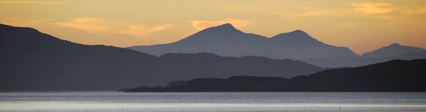
 Causeway and Moroccan mountains in the distance
 View of town of Tarifa from Altantic side anchorage
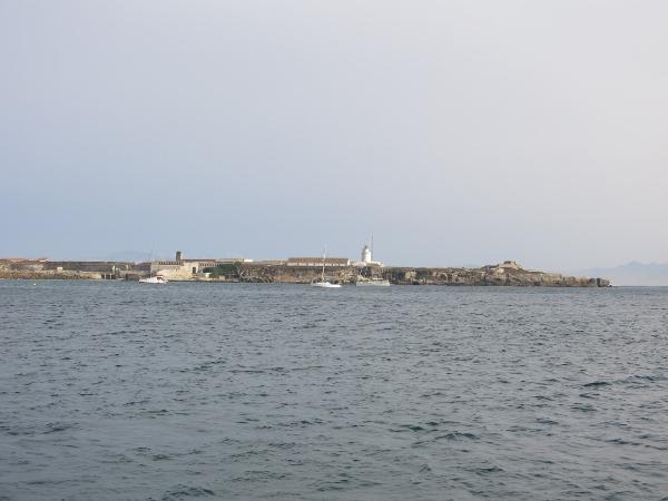 View of the outer Atlantic side anchorage at Tarifa
|